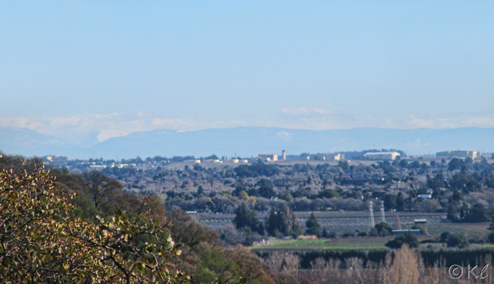
On a clear winter's day, from the top of the main trail you can see the Sierras--including a snow-capped one on the left that blends in with the clouds. Those buildings are parts of Travis Air Force Base.
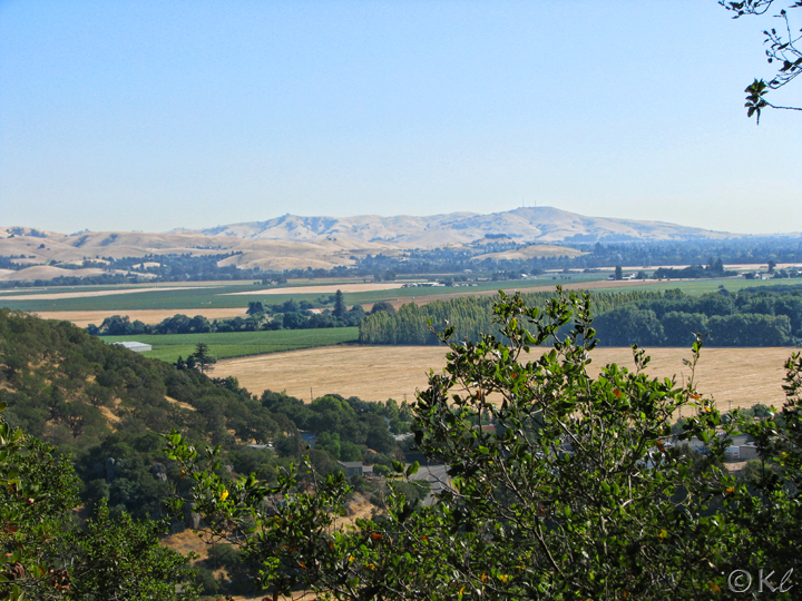
Another great spot for viewing Suisun Valley and to the east is from the Upper Tilley Trail.
A controlled burn at Solano Land Trust's Rush Ranch.
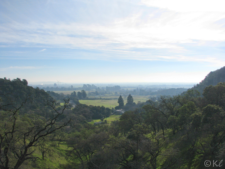
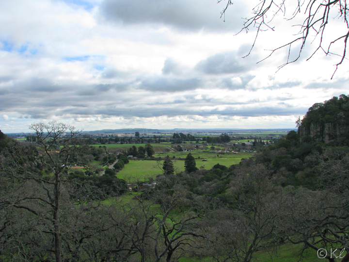
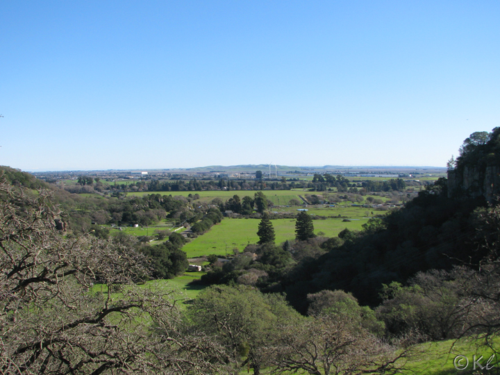
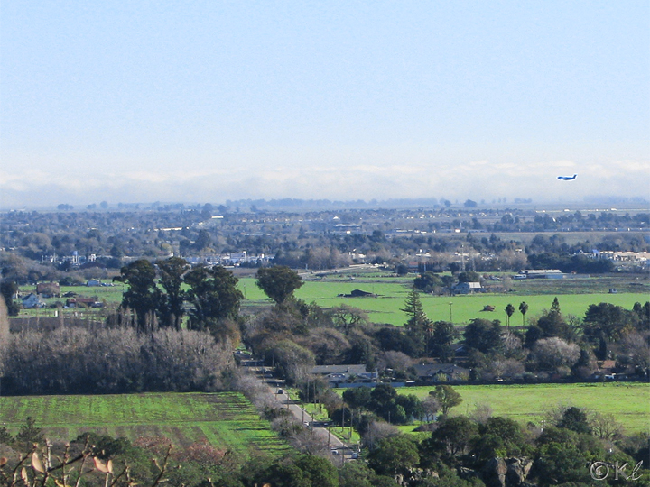
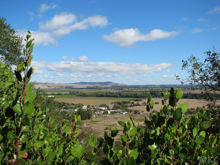
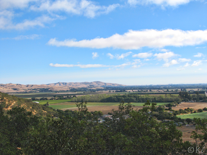
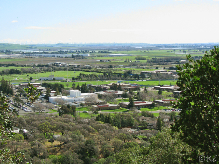
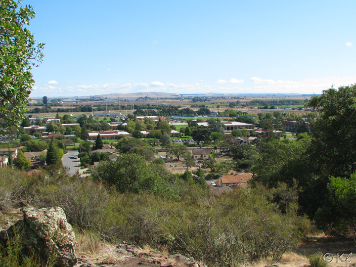
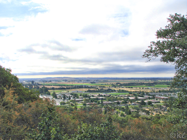
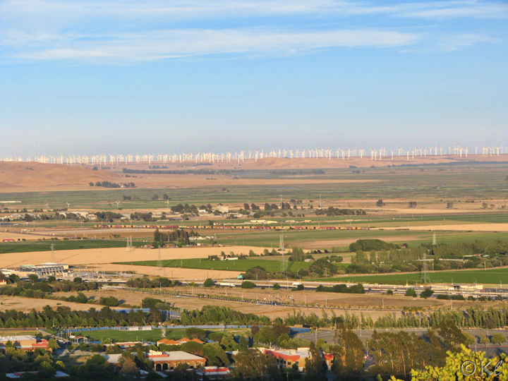
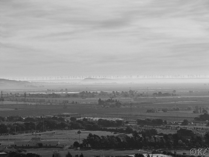
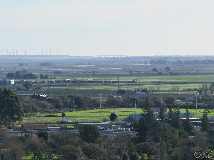
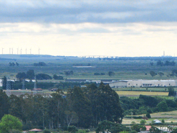
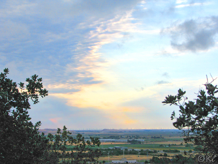
This photo--and the next two--are views of Solano Community College.
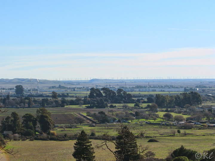
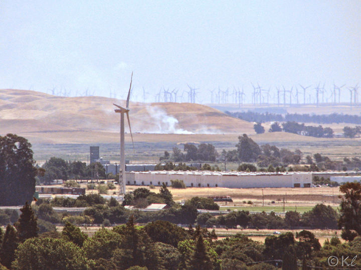
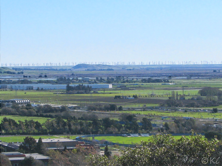
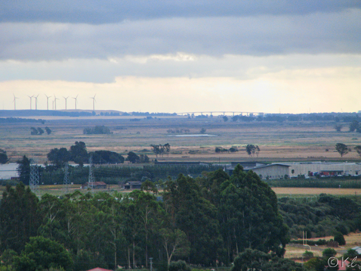
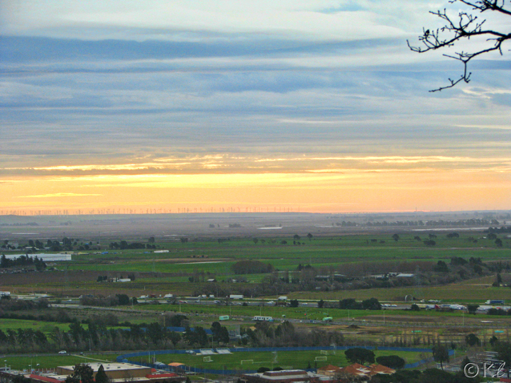
Here you can see the windmills on the Montezuma Hills.
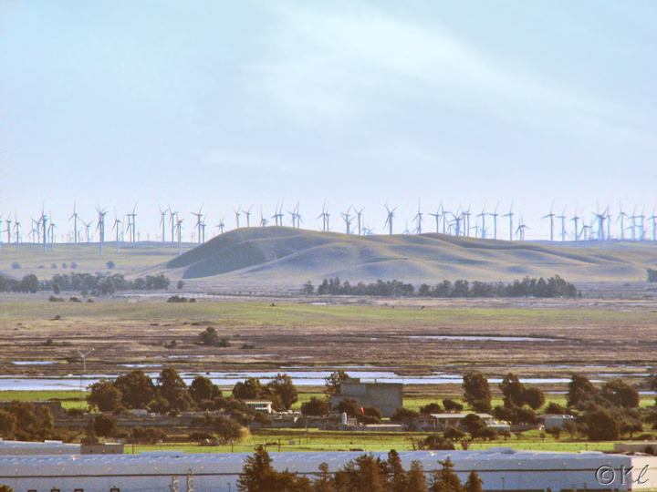
Another view of the windmills with the peaks of Kirby Hill rising up in the center. At 361 feet, Kirby Hill is noticeable in the surrounding marsh land.
A zoomed in view of Kirby Hill and the windmills.
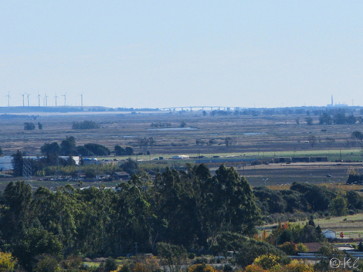
Depending on how clear a day it is, you might be able to see the Antioch Bridge from the main trail. To get an idea of where to look for it, follow the Montezuma Hills (with the windmills) to the right until they hit their lowest point. The bridge should be just to the right of that. You can also see the smokestack of the Antioch power plant on the right of this photo.
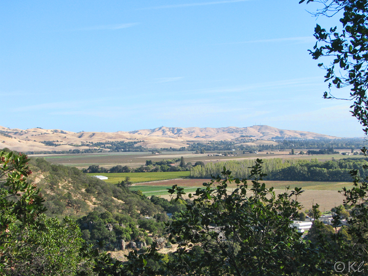
This photo is hazier, but you can make out most of the same features. That's Solano Community College in the foreground.
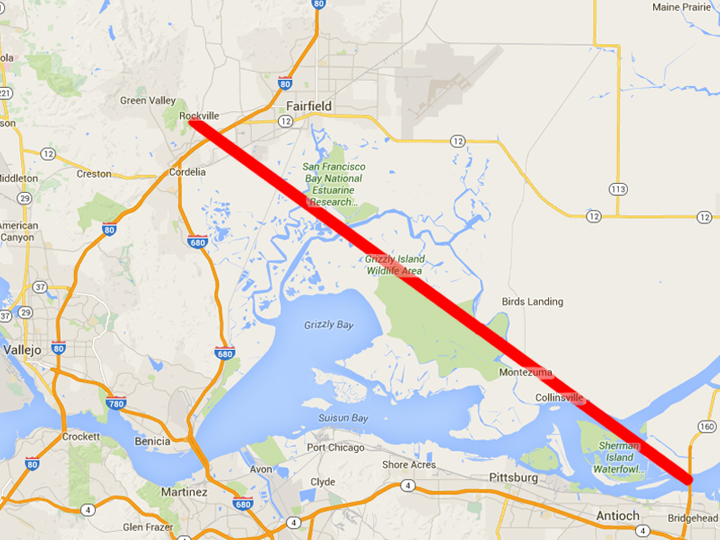
A map showing the distance from the park to the Antioch Bridge. According to my sketchy math, that straight line should be around 20 miles.
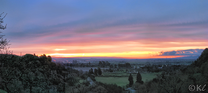
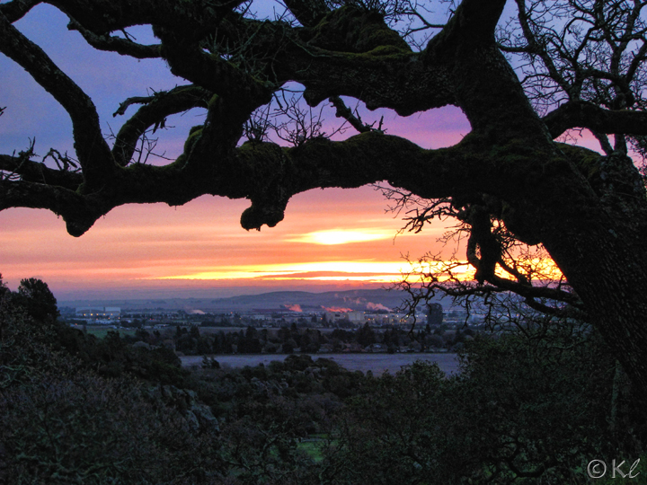
Of course, the best view to the east is the sunrise! I've only been at Rockville Hills Regional Park early enough to see it a very few times!